UN
9 North Grove
£ 260,000
Description
We don't have a Description for this property.
- Bedrooms
- 3
- Bathrooms
- 0
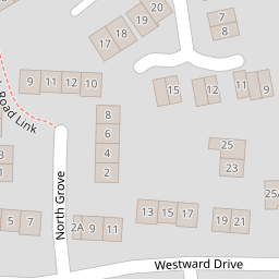
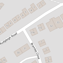
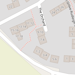
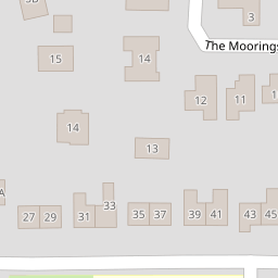
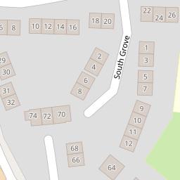
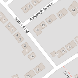
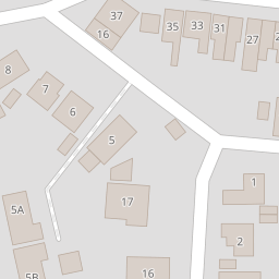
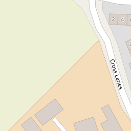
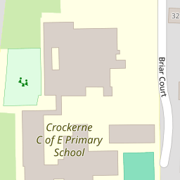

Leaflet © OpenStreetMap contributors
The heatmap indicates the level of crime in the area. The color of the heatmap indicates the crime severity and recency.
Metrics Year-on-Year
- Average area value
- 740,833.00 £Increased by 11.45 %
- Average area rental value
- 1,310.00 £/moDecreased by 18.12 %
- Est rental Yield
- 2.12 %Decreased by 26.64 %
- Crime Rate
- 20.00 %Unchanged by 0.00 %
from 664,697.00 £
from 1,600.00 £/mo
from 2.89 %
from 20.00 %
Nearby Schools
| Name | Type | Ofsted | Distance |
|---|---|---|---|
| Crockerne Children'S Centre | Children's Centre | 0.15 KM | |
| Crockerne Church Of England Primary School | Academy Converter | Good | 0.25 KM |
| St Katherine'S School | Academy Converter | Requires improvement | 1.46 KM |
| Shirehampton Primary School | Community School | Good | 1.52 KM |
| Avonmouth Children'S Centre | Children's Centre | 1.90 KM |
Images
Nearby Streets
| Name | Average Price | Average Sqft | Distance |
|---|---|---|---|
| The Orchard | £ 215,000 | 0 | 0.00 KM |
| Bramley Close | £ 275,000 | 0 | 0.00 KM |
| South Grove | £ 312,500 | 0 | 0.00 KM |
| The Moorings | £ 400,000 | 0 | 0.00 KM |
| Springfield Road | £ 427,000 | 0 | 0.00 KM |
Nearby Transport
| Name | NLC | TLC | Distance |
|---|---|---|---|
| Shirehampton | 3206 | SHH | 1.41 KM |
| Avonmouth | 3200 | AVN | 2.73 KM |
| St Andrews Road | 3252 | SAR | 3.96 KM |
| Sea Mills | 3254 | SML | 4.45 KM |
| Clifton Down | 3202 | CFN | 8.79 KM |
Nearby Listings
| Address | Price | Type | Score | Distance |
|---|---|---|---|---|
| Bramley Close, Pill | £ 250,000 | BUY | 6 / 10 | 0.07 KM |
| Bramley Close, Pill | £ 225,000 | BUY | 7 / 10 | 0.07 KM |
| South Grove, Pill | £ 315,000 | BUY | Unknown | 0.15 KM |
| Westward Drive, Pill, Bristol, Somerset, BS20 0JW | £ 260,000 | BUY | 6 / 10 | 0.15 KM |
| Westward Drive, Pill, Bristol, BS20 | £ 325,000 | BUY | 5 / 10 | 0.16 KM |
Nearby Properties
| Address | Price | Distance |
|---|---|---|
| 1 North Grove | £ 255,000 | 0.00 KM |
| 9 North Grove | £ 260,000 | 0.00 KM |
| 4 North Grove | £ 245,000 | 0.00 KM |
| 24 Bramley Close | £ 120,000 | 0.07 KM |
| 11 Bramley Close | £ 280,000 | 0.07 KM |